

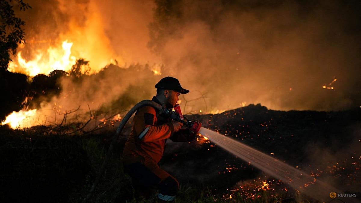
While more severe than recent years, the scale of Indonesia’s forest and land fires so far this year remains well below that seen in 2015, when the country experienced one of its worst fire crises.
Fires torched about 2.6 million hectares in 2015, with roughly 600,000 hectares burnt between January and July that year.
The 2015 fires blazed for more than three months and released 1.75 billion tonnes of greenhouse gas equivalents, according to the United States’ National Aeronautics and Space Administration Earth Observatory.
As of Sep 2, Indonesia’s 2026 fires have released roughly 10 per cent of the greenhouse gas equivalents of the 2015 fires, it said.
Of the 202,000 hectares that have been burnt by the end of July, nearly half of it – or about 94,539 hectares – occurred in July alone, according to the Ministry of Forestry.
Of particular concern this year is how quickly the fires have spread as El Nino conditions, which bring hotter and drier weather to the region, coincide with Indonesia’s dry season. Indonesia’s Meteorology, Climatology and Geophysics Agency (BMKG) has forecast the dry season to peak in August and September.
This year’s fires are, however, more severe than that of recent years as well as 2019, another El Nino year. Between January and July 2019, Indonesia recorded 137,000 hectares burnt.
“It has already surpassed 2023 and 2019, but with El Nino conditions that are nearly similar to those in 2015, it is still below that level,” Raja Juli said at a working meeting with an Indonesian House of Representatives commission on Aug 18.
Where are the fires, and what is driving them?
Like in 2015, the areas that have seen the most extensive fires are Kalimantan and Sumatra. This year, however, fires have also spread to less typical areas including parts of Papua.
South Papua, particularly the Merauke area, has emerged as a new epicentre, according to Yosi Amelia, climate and ecosystem programme lead at Indonesian climate and sustainability non-profit Madani Berkelanjutan.
“South Papua, or Merauke, is a new forest and land fire hotspot. We strongly suspect this is linked to land clearing in food estate and energy project areas,” Yosi told CNA.
Environmental groups have also pointed to peatland degradation as a factor behind the fires in South Papua.
Peatlands are naturally wet ecosystems and do not typically burn under undisturbed conditions.
But when drained, they may combust and the fires may burn beneath the ground surface for extended periods, generating much more fine particulate matter and carbon than tropical forest fires.
“The drying and conversion of peatlands have contributed significantly to forest and land fires in South Papua,” said Wahyu A Perdana, advocacy, campaign and communication manager at Pantau Gambut, a non-governmental organisation focused on peatland research and conservation.
Raja Juli said on Sep 1 that most of the fires in Kalimantan and Sumatra were almost certainly deliberately set by individuals or companies for various purposes, news outlet Jakarta Globe reported.
An Environment Ministry official said on Aug 31 it is inspecting 19 companies linked to fires in Sumatra and Kalimantan.

