

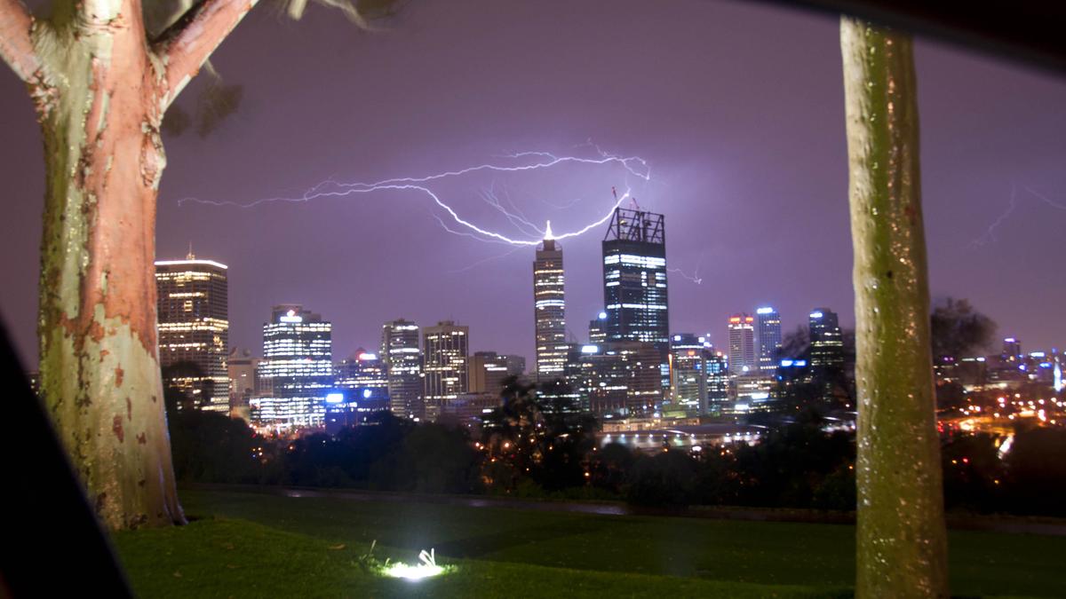
West Aussies might be itching to dust off their board shorts and bikinis but winter isn’t done having its final say just yet.
Perth was lashed by an overnight drenching that saw rain gauges overflow across the metropolitan area — and weather experts are warning the wet conditions are set to make a roaring comeback.
Bureau of Meteorology senior meteorologist Angus Hines confirmed the soggy start to the week came from a system creeping up the southern coastline.
“We saw a good little dose of rain with a small, low pressure area that actually moved up from the south, kind of reached the coastline (on Sunday), near Albany… and then moved across the southwest land division and through Perth, across the overnight hours,” Mr Hines said.
While the worst of the front has cleared the metropolitan area, the system is “continuing on its merry way northwards”, with Mr Hines warning that “we could even see a few storms firing up around this rainy area.”
Rain gauges across the city picked up steady falls overnight, with the official Perth metro site recording 7.2mm.
“Lots of places sort of got between five and 10 millimetres around the Perth area,” Mr Hines said, noting suburban totals included “6.8mm out at the airport, 10.4mm at Kings Park, 5.6mm at Jandakot”.
The heaviest soaking in the State was recorded just east of Lancelin, which copped a massive 28mm drop.
While Mr Hines noted the downpour “feels like a wet spell as it moves overhead,” he reassured locals that “it doesn’t clock in as anything unusual, and certainly not anything record-setting for this time of year”.
However, those hoping spring rain was entirely behind us are in for a reality check as November fast approaches.
“We haven’t had the last soaking of the season,” Mr Hines warned.
“And even beyond the weekend, I wouldn’t be ruling out some further spells of rainfall before we really settle into those more long-lived summer weather patterns.”
Warm weather lovers will get a brief reprieve through the middle of the week as conditions are set to clear.
“Through the middle of the week, from Tuesday through to Thursday, mostly sunny conditions should reign supreme, and those temperatures will be bouncing back up again,” Mr Hines said.
“27 to 28 degrees is our forecast maximum for the next few days, and mostly sunny skies are expected as well.”
However, the sunshine will be short-lived, with another cold front tracking to hit the Perth coastline on Saturday.
“Things are going to take a bit of a turn right at the end of the week and right at the end of the month,” Mr Hines said.
“We’ll be tracking a weather system in from the west… a cold front making its way onto the Perth area, probably Saturday morning.”
The weekend system is “looking likely to bring the next spell of rain” to the city.
“Could easily match what we saw today again as the weekend rolls through with another dose of wet weather, maybe another 5 to 10 millimetres, possibly up to 15,” Mr Hines warned.
PERTH WEATHER FORECAST
- Monday: Possible shower, Max 22 🌧️
- Tuesday: Sunny, 12-27 ☀️
- Wednesday: Mostly sunny, 14-28 ⛅️
- Thursday: Sunny, 14-26 ☀️
- Friday: Possible shower, 14-25 🌧️
- Saturday: Shower or two, 13-23 ☔️
- Sunday: Shower or two, 13-23 ☔️
Forecast sourced from the Bureau of Meteorology.

